Why Doesn't the Deed Match the Fence?
Thomas D. White, Senior Partner, EQUES Law Group
Common land surveying problems in Ohio, from frontier-era descriptions to today's “survey required” deed stamps
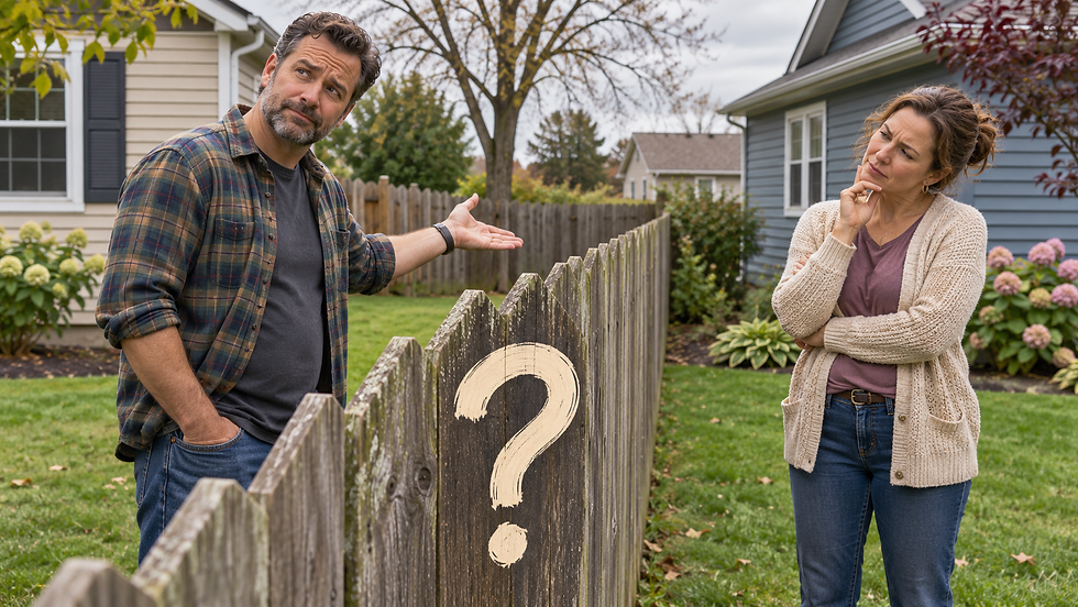
The deed says 50 acres, but the county tax map shows a different number. A fence has stood in the same place for generations, yet a new survey puts the property line several feet away. A buyer discovers a recorded deed stamped “survey required” just days before closing. These are not unusual situations in Ohio, where today's parcels often trace their descriptions back through two centuries of land divisions and transfers.
Understanding how Ohio land was first surveyed—and how a deed is reviewed today—can help owners recognize problems before they interfere with a sale, an estate plan, a driveway, or construction.
Ohio’s surveying history is part of the problem.
In 1785, before Ohio became a state, the federal government adopted a system for surveying and selling what were then called “western lands” i.e. the Northwest Territory out of which Ohio was formed. Its first major application was the Seven Ranges in eastern Ohio. The new approach generally divided land into six-mile-square townships and then into one-mile-square sections, creating a framework still recognizable in many legal descriptions. The surveys were undertaken amid the westward expansion of settlement onto lands occupied and claimed by Native nations.
But Ohio was never surveyed under one perfectly uniform system. The Connecticut Western Reserve in northeastern Ohio used its own rectangular pattern, including five-mile townships. Land in the Virginia Military District of south-central Ohio was laid out through irregular “metes and bounds” descriptions—directions and distances often tied to trees, stones, streams, and other physical landmarks. Different historic survey districts, followed by later farm splits and subdivisions, produced an enduring patchwork of descriptions.
A deed written generations ago might refer to a white oak tree, the corner of a neighboring farm, a township road, or distances measured in chains and rods. Trees die, roads change, monuments disappear, and adjoining farms acquire new owners. Modern equipment can measure very precisely, but it cannot make conflicting historical evidence disappear.
Six surveying problems Ohio owners encounter
1. Missing or uncertain corners. Old stones, iron pins, and other monuments may be buried, disturbed, removed, or incorrectly identified. Finding a pin is not necessarily the same as proving that it is the legally controlling corner.
2. A deed that does not fit together. A legal description may contain inconsistent directions, distances, or references, or may fail to form a mathematically closed parcel. Repeated copying from deed to deed can preserve a mistake for decades.
3. Acreage that does not match. A deed may describe acreage as “more or less,” while a later survey calculates a different amount. Acreage is important, but it must be evaluated with the deed’s boundary and other evidence; a tax-office acreage figure is not itself a boundary determination.
4. Overlaps, gaps, and old exceptions. A farm described as 100 acres “excepting” several earlier sales can become difficult to retrace, especially when the excepted tracts have their own inconsistent descriptions. Neighboring deeds may appear to claim the same strip—or leave a sliver unaccounted for.
5. Fences, driveways, and creek banks. A fence or traveled driveway may not lie on the deed line. A recorded easement, longstanding use, or other legal right may affect use of land even where ownership is clear. Streams and road rights-of-way can present additional complications.
6. Relying on the online parcel map. County GIS and tax maps are valuable tools for locating records and understanding the general shape of a parcel. They are not substitutes for a professional boundary survey or a legal examination of title. The Holmes County Tax Map Office, for example, expressly cautions that its public data carry no warranty of accuracy or suitability.
What does “THIS TRANSFER ONLY. SURVEY REQUIRED.” mean?
This is one of the most important warnings a property owner can find on a deed. The exact stamp varies among Ohio counties. Some use language such as “Last Transfer Without New Survey,” “Survey Required for Future Transfer,” or “New Survey Required for Next Conveyance.” In practical terms, the county may have permitted a particular conveyance to proceed even though the existing legal description did not satisfy its ordinary standards for future transfers.
That stamp does not, by itself, establish that the owner lacks title, that a neighbor owns part of the land, or that a court has decided the boundary. Nor does it necessarily mean that a survey must be completed immediately after the deed is recorded. It is a notice that future conveyances may encounter a survey requirement, subject to the county’s actual rules and any applicable exceptions.
Ohio law directs county auditors and engineers to adopt standards governing conveyances. These standards address boundary surveys for certain split parcels and changed legal descriptions, but apply when the county has incorporated those requirements into its adopted conveyance standards. Ohio law supplies statewide minimum standards for boundary surveys. County procedures—and the availability of exceptions—are therefore essential to the answer.
For example, Holmes County’s published conveyance standards permit one transfer of certain ambiguous or deficient existing descriptions with a “Last Transfer Without New Survey” stamp; further conveyances generally require a new survey, with stated exceptions and limitations. Monroe County’s Tax Map Department likewise explains the significance of its “Survey Required for Future Transfer” notation and identifies family-transfer considerations. Rules are not identical from county to county.
The surprise often arises years later: a family is settling an estate, an owner is planning a gift, or a sale is under contract, and the title work reveals a stamp that nobody noticed. A survey then becomes a potential closing expense and scheduling issue. It is far better to investigate the notation before signing a purchase agreement or scheduling a transfer.
What a survey can—and cannot—resolve.
An Ohio professional surveyor does more than measure between points. State standards call for review of the deeds and other records, including adjoining parcels, followed by a field investigation for monuments and evidence of occupation. A survey plat documents the evidence, measurements, boundary conclusions, and other required details.
Yet a survey does not always settle a legal conflict. If two deeds overlap, if a neighbor claims an easement, or if the parties disagree about the legal effect of decades of possession, the surveyor supplies important technical evidence while an attorney evaluates title, instruments, and potentially disputed legal rights. Some problems can be fixed with an agreed boundary or corrected deed; others may require negotiation or a court order.
Five practical steps before the next land transfer
• Read the entire recorded deed, including the legal description, exceptions, easements, and every approval or survey stamp.
• Compare the deed with the preceding deed and any available recorded plats or prior surveys; do not rely solely on the online parcel map.
• Ask the county tax map or engineer’s office which conveyance standards apply and whether a stamped survey requirement will affect the planned transaction.
• Consult an Ohio professional surveyor before building a fence, installing a driveway, splitting land, or selling a tract with a questionable description.
• Seek legal advice if adjoining deeds conflict, an access right is disputed, or an ownership problem requires more than a corrected measurement.
A little review today can prevent a larger dispute tomorrow
A landowner may never think twice about the words following “situated in the Township of ...” until the next sale or the next disagreement with a neighbor. But a deed is more than a receipt for real estate: its legal description is the starting point for identifying what was conveyed. Historic uncertainty, outdated descriptions, and county transfer stamps deserve attention before they become emergencies.
This article provides general information about Ohio real-property and surveying practices, not legal advice regarding any particular parcel. Current county standards and the specific recorded instruments should be checked by an EQUES attorney and/or professional surveyor before a transaction.


Comments